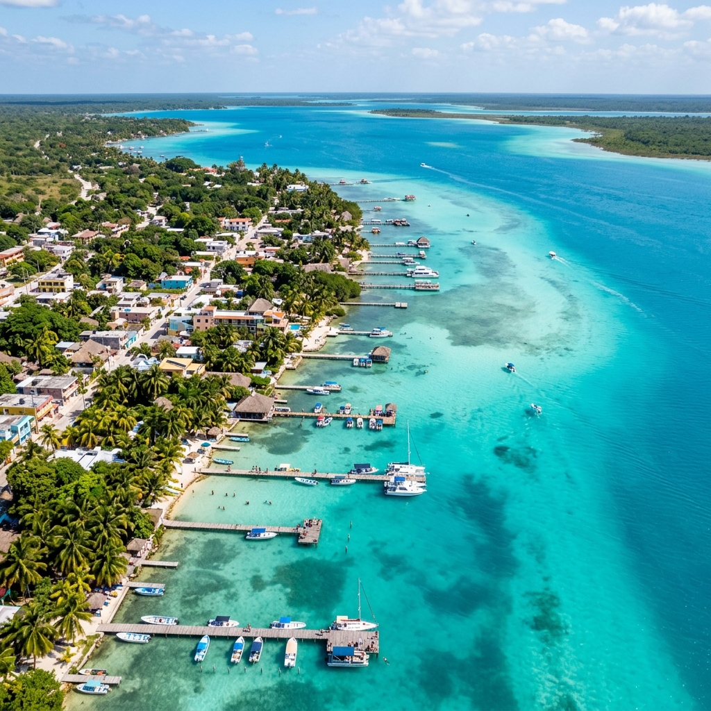
Where is Bacalar and Things to Do in Bacalar, Quintana Roo, Mexico
Exact location, Maya & pirate history, travel directions, top attractions in the Lagoon of Seven Colors, and expert tips from local guides.
Bacalar at a glance
Bacalar is in southern Quintana Roo, about 40 km north of Chetumal. Its lagoon is freshwater, so it does not receive the marine sargassum found on Caribbean beaches. First-time visitors should allow 2–3 days for a lagoon trip, Los Rápidos, San Felipe Fort, and the town center.
Location
Southern Quintana Roo
Ideal stay
2–3 days
Nearest airport
Chetumal
Ecosystem
Freshwater lagoon
Editorial review: Tours Bacalar local team. Confirm current schedules and conditions before traveling.
Table of contents (10 temas)▼
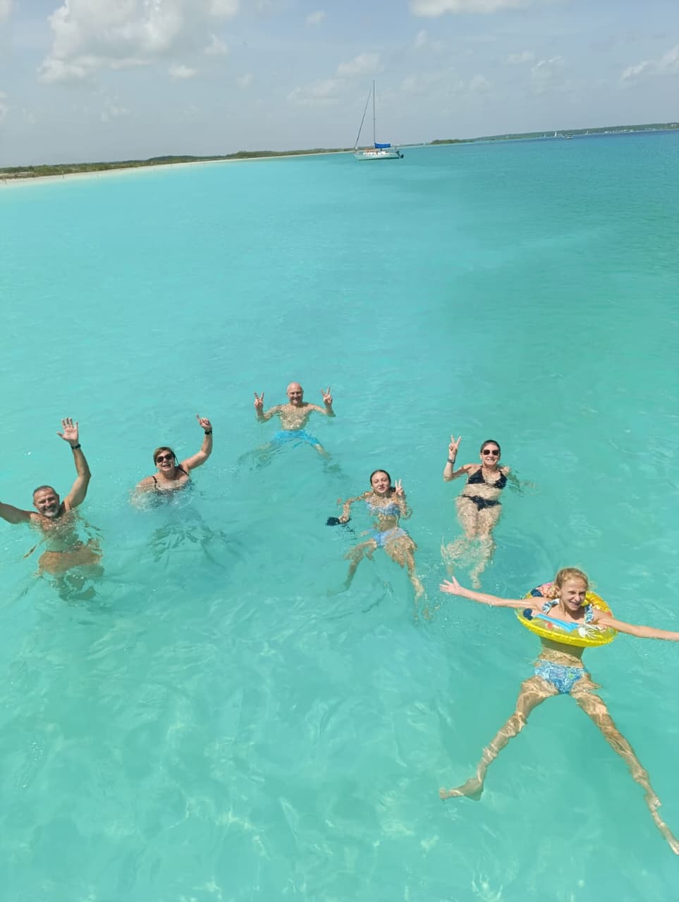
The Turquoise & Historic Paradise of Southern Quintana Roo
Bacalar combines a freshwater lagoon, Maya history, an important defensive fort, and microbial formations that help scientists study some of Earth’s earliest evidence of life. This guide focuses on practical decisions: how to arrive, how long to stay, and what to prioritize.
Bacalar from above: a panoramic lagoon view
The aerial footage helps explain Bacalar’s scale, the relationship between town and shoreline, and the changing blues of the Lagoon of Seven Colors.
1. Top 7 Things to Do in Bacalar
Essential experiences recommended by local captains to enjoy the lagoon:
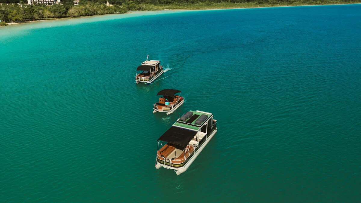
Eco-Friendly Pontoon or Sailboat Boat Tour
Must-do #1. Cruise the Lagoon of 7 Colors visiting Cenote Negro, Cenote Esmeralda, Cocalitos, Bird Island, and Pirates Channel.
Browse pontoon & sailboat tours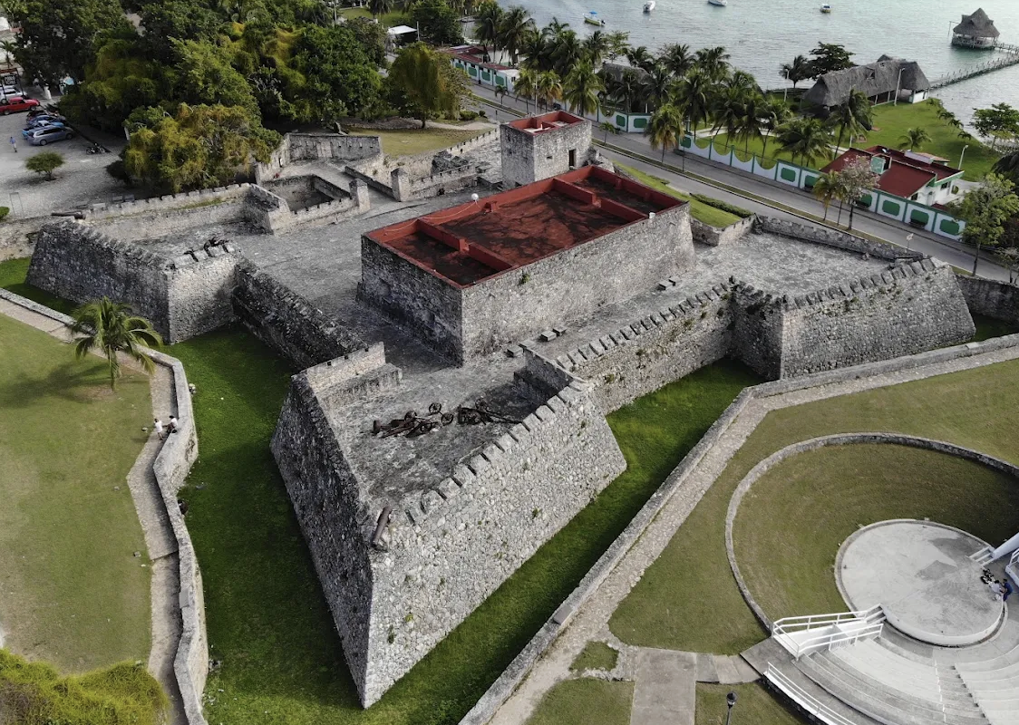
Explore Fort San Felipe Museum
Built in 1729 to defend against Caribbean pirates, featuring a historical museum and panoramic lagoon views.
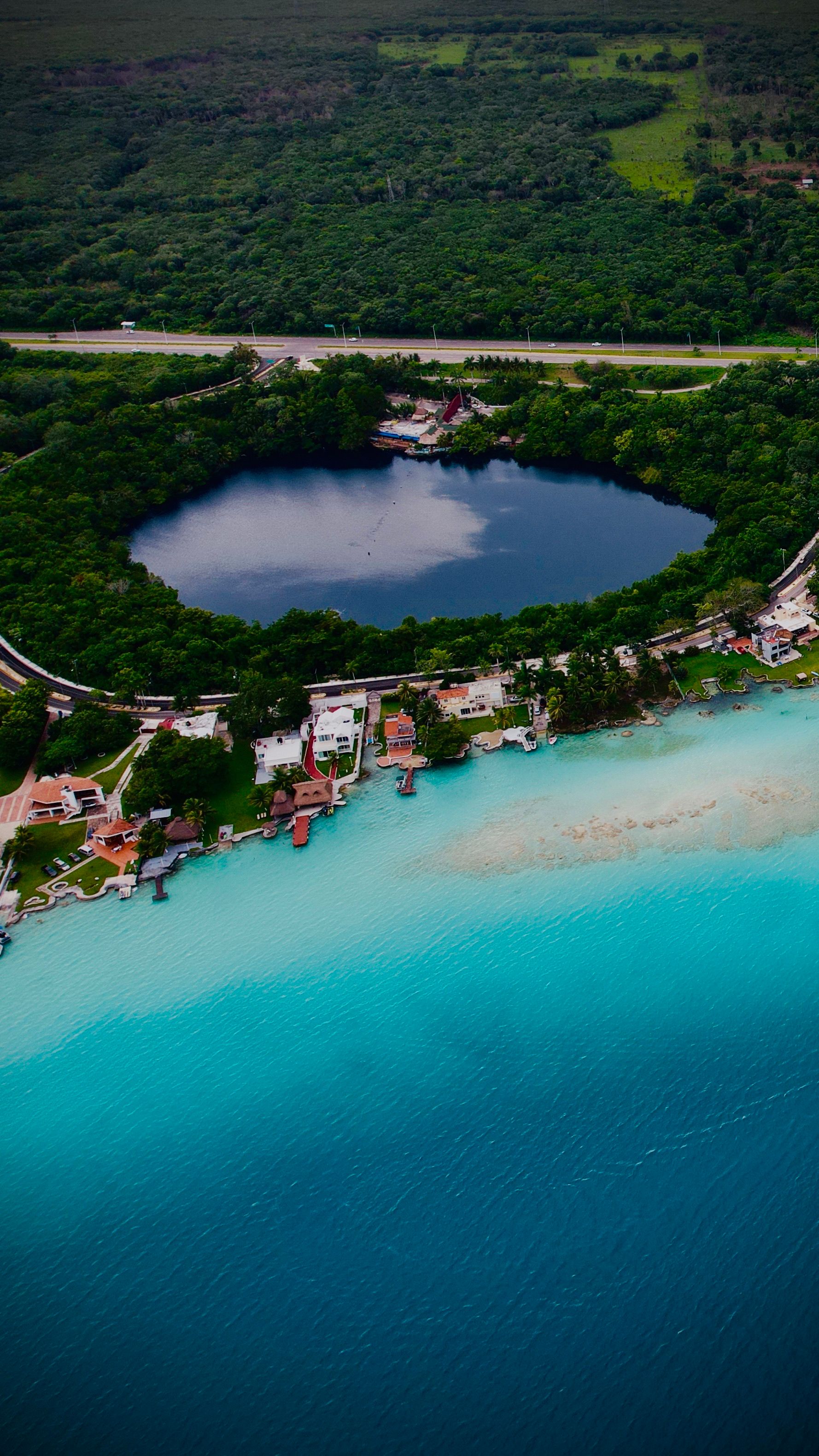
Swim in Cenote Azul
An open cenote 90 meters deep right by the highway, surrounded by lush jungle and seafood spots.
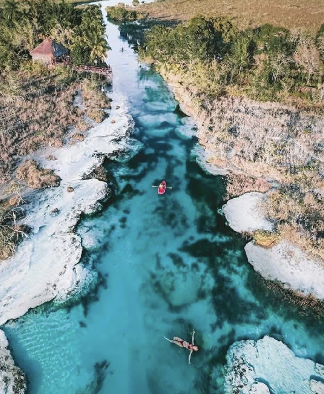
Float down Los Rapidos de Bacalar
A natural freshwater channel with gentle currents, surrounded by ancient stromatolites. Perfect for floating or kayaking.
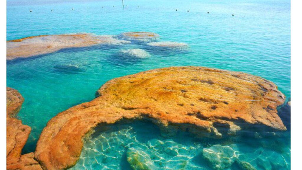
Admire Stromatolites at Cocalitos
Observe formations created by microbial communities related to some of Earth’s earliest evidence of life. Never touch or step on them.
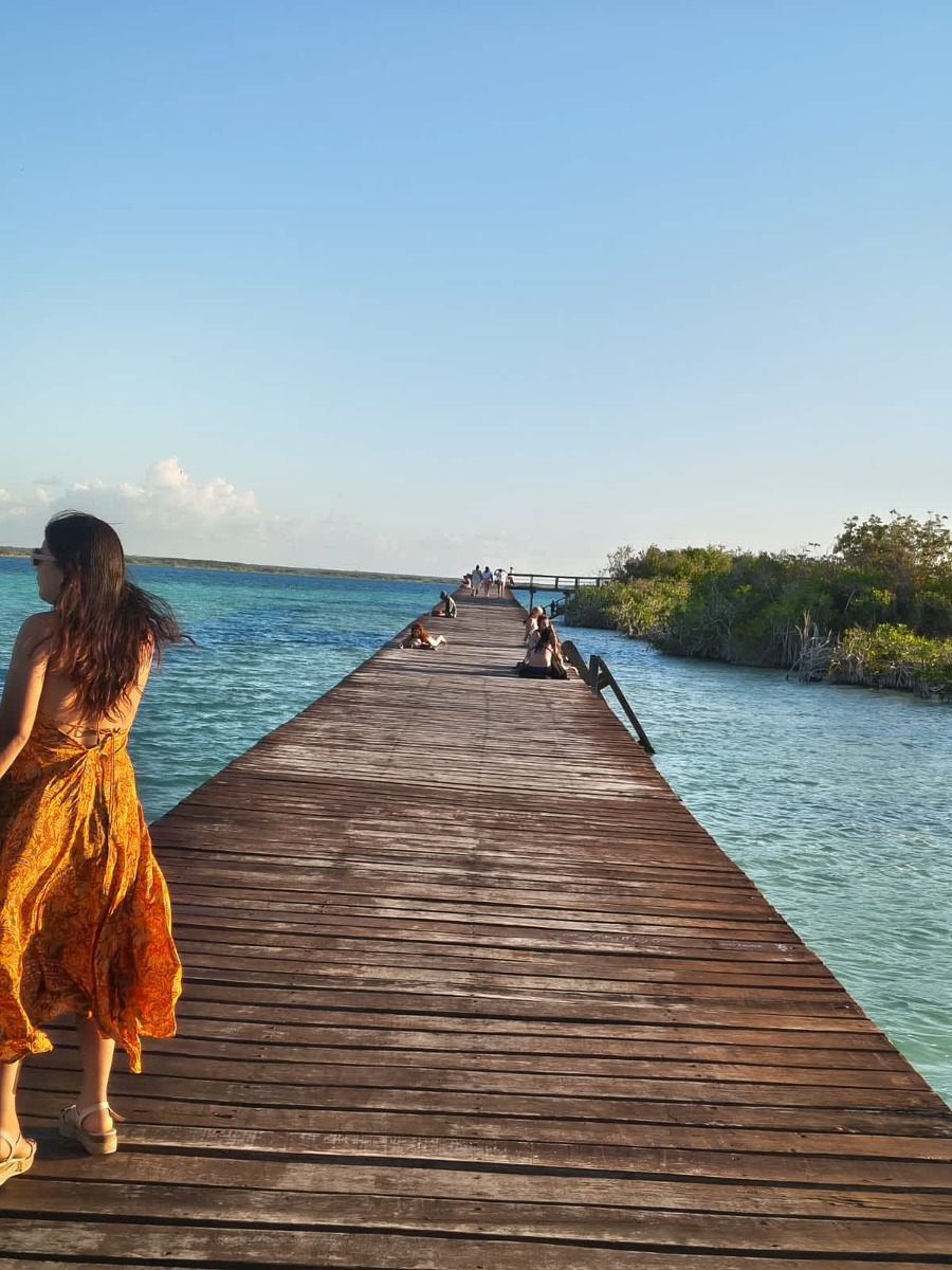
Relax at Public Swimming Docks
Enjoy public piers and beach parks like El Aserradero and Municipal Park for swimming.
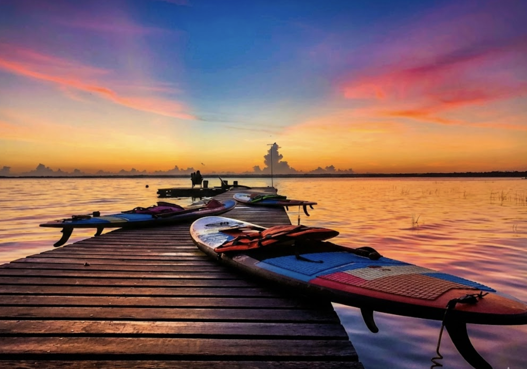
Sunrise Kayaking or Paddleboarding
Experience the glass-like calm lagoon at dawn with a serene early morning paddle.
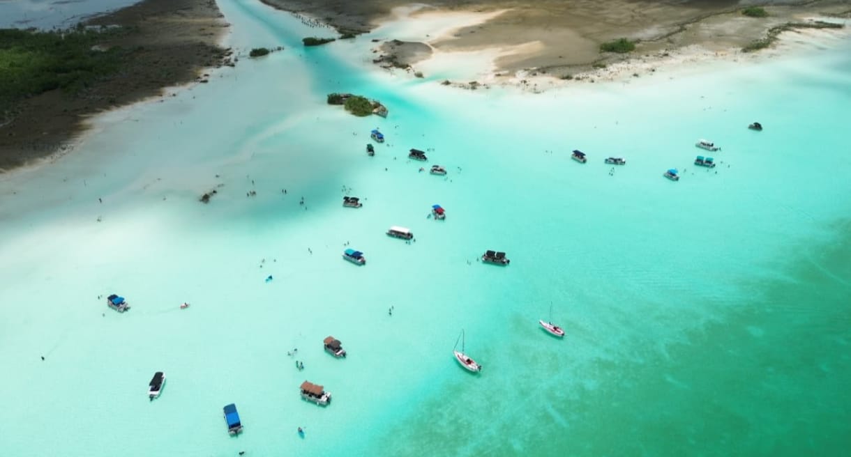
Sailing the Pirates Channel by Pontoon Boat
A boat trip across the shallow, turquoise waters of the Pirates Channel. Watch the takeoff from the pontoon with our captain and the scenic aerial views over this historic waterway in Bacalar.
2. Where is Bacalar? Exact Location on the Map of Mexico
Bacalar is a municipal town located in southern Quintana Roo, Mexico, within the Yucatan Peninsula. It is part of the Grand Costa Maya tourist region.
Geographically located at coordinates 18.6781° N and 88.3917° W, it sits on the western shore of Bacalar Lagoon (famous as the Lagoon of Seven Colors), a fresh-water lake stretching 42 km long by 2 to 4 km wide. It is located 38 km north of Chetumal and 45 km from the Belize border.
3. History of Bacalar: Maya Origins, Pirate Invasions & San Felipe Fort
Bacalar’s history is as deep and colorful as the blue shades of its lagoon:
- Maya Origins (Siyancaan Bakhalal): Founded around 415-435 AD by the Itza Maya as Siyancaan Bakhalal ("Birth of the sky surrounded by reeds"), it served as an essential Maya trade hub connecting Yucatan to Central America.
- Spanish Conquest (1544): Conquered in 1544 by Gaspar de Pacheco, who established Salamanca de Bacalar.
- Pirate Era & Pirates Channel: In the 17th and 18th centuries, English, French, and Dutch pirates (including Henry Morgan and Diego el Mulato) sailed into the lagoon via the Pirates Channel to plunder valuable dye wood, mahogany, and local crops.
- San Felipe Fort Construction (1729-1733): Built by Governor Antonio de Figueroa to protect the town from pirates, featuring stone bastions and bronze cannons overlooking the lagoon.
- Caste War (1848) & Magic Town (2006): Maya rebels seized the fort during the Caste War in 1848 and held it for over 50 years. Bacalar was officially designated a Magic Town of Mexico in 2006.
4. How to Get to Bacalar (Airports, ADO Buses & Maya Train)
Reaching Bacalar is simple via Federal Highway 307, which connects Quintana Roo north to south:
From Chetumal Airport (CTM)
The closest commercial airport, just 38 km away (35 minutes by taxi or shuttle).
From Tulum Airport / Town (TQO)
Located 215 km north (approx. 2.5 hours by car or ADO bus).
From Cancun (CUN) & Playa del Carmen
Cancun is 345 km away (4.5 hours). ADO buses run daily direct services to Bacalar.
Bacalar Maya Train Station
The Maya Train connects Bacalar directly with Chetumal, Tulum, Cancun, Merida, and Palenque.
5. Why Bacalar does not receive marine sargassum
Bacalar is an inland freshwater lagoon, so it does not receive the marine sargassum that reaches Caribbean beaches. Water color and clarity can still vary with weather and environmental conditions.
- Freshwater Inland Lagoon: Fed by underground cenotes and rivers, not seawater.
- No Ocean Access: Seaweed floats in the Atlantic and Caribbean Sea; it cannot enter inland lakes.
- Variable conditions: Rain, wind, sediment, and environmental health can change water color and clarity.
6. Responsible Ecotourism & Stromatolite Protection
- Never touch or walk on stromatolites: They look like rocks but are delicate living organisms.
- Reduce products in the water: Prefer UV-protective clothing and follow the rules of each access point or operator.
- Always wear life jackets in cenotes and rapids to protect yourself and the delicate lake bed.
- Motor navigation: Confirm current restrictions with the operator and maritime authority, especially for Wednesdays.
7. How to book a lagoon trip clearly
Before paying, request the details in writing and keep your confirmation:
| Before booking | What to confirm | Warning sign |
|---|---|---|
| Operator | Name, contact information, and service conditions. | There is no clear way to contact the provider after payment. |
| Itinerary | Duration, departure point, stops, and inclusions in writing. | A “complete tour” is promised without listing the places visited. |
| Payment | Total price, deposit, balance, and change policy before paying. | The price or conditions change after the deposit is delivered. |
Operator
There is no clear way to contact the provider after payment.
Itinerary
A “complete tour” is promised without listing the places visited.
Payment
The price or conditions change after the deposit is delivered.
Frequently asked questions
Where is Bacalar located?
Bacalar is located in southern Quintana Roo, Mexico, on the Yucatan Peninsula, 38 km north of Chetumal and 215 km south of Tulum.
What is the history of Bacalar and why is there a pirate fort?
Founded by the Maya as Siyancaan Bakhalal in 415 AD. In the 17th-18th centuries, Caribbean pirates used the lagoon channel to steal valuable dye woods. The Spanish built Fort San Felipe in 1729 to defend against pirate raids.
Is there sargassum seaweed in Bacalar?
No. Bacalar is an inland freshwater lagoon fed by cenotes and does not receive ocean sargassum.
What is the closest airport to Bacalar?
Chetumal International Airport (CTM) is the closest, located 35 minutes away.
How many days should I stay in Bacalar?
We recommend 2 to 3 days to take a boat tour, visit Los Rapidos, explore Fort San Felipe, and enjoy the town.
Plan Your Trip to Bacalar
Choose how long you want to navigate and whether you prefer a shared or private departure. Then confirm the stops, date, and transportation before paying a deposit.
Official & Geographical Sources
Geographical and historical data verified by local guides: